Measuring Soils
Our suite of geospatial tools measure soil features like carbon and moisture and the impact of regenerative agricultural practices on the same across South Asian agro-ecological zones.
Measuring Soil Parameter
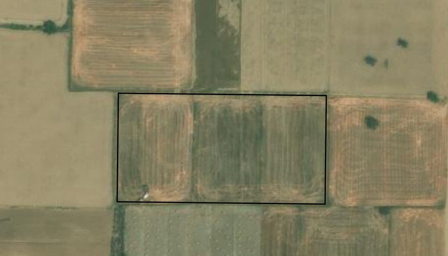
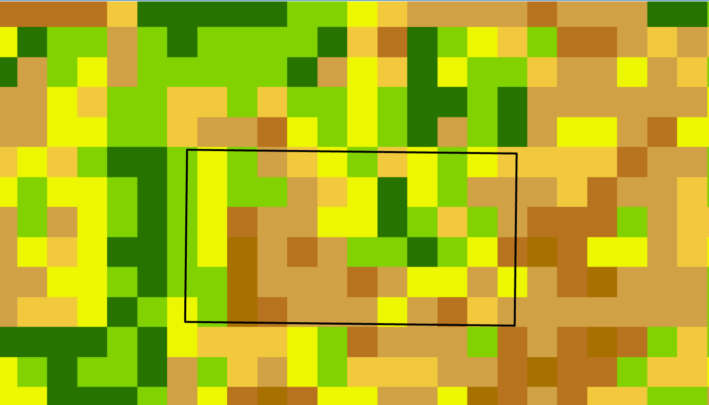
Soil is one of nature’s most complex materials. Its features change depending on various factors. Some of its features, for example moisture, can be easily detected based on remote sensing data. Using machine-learning algorithms, one can correlate the same with other factors like the “green-ness” of the plants growing in the soil, the slope of land, seasonality etc.
Based on these optical and radar parameters, Soilify can detect soil organic carbon content with an accuracy of 60% to 80%. We use both multispectral and hyperspectral satellite data at a spatial resolution as good as 10 meters. Our product is currently under development.
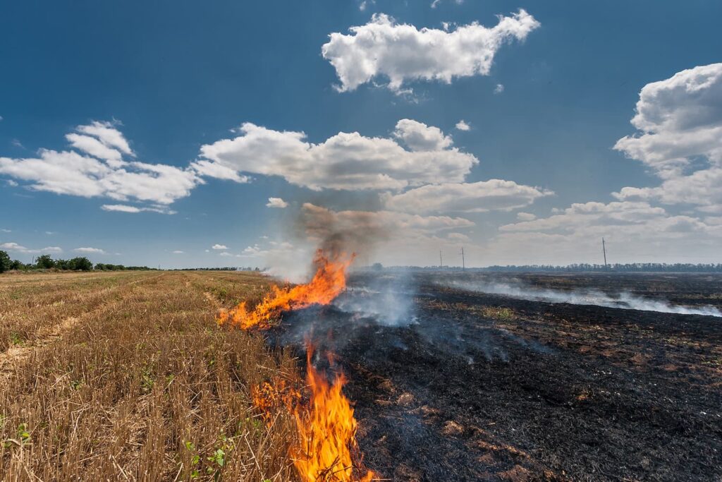
Quantifying regenerative agricultural practices
There are many ways to enrich soils and switch to regenerative agricultural practices. Several organisations have developed standards to guide farmers that seek to generate carbon credits as a reward for switching to regenerative agricultural practices that increase the organic carbon content in the soils. Soilify develops geospatial tools to monitor those practices and model its impacts on soil organic carbon.